Global Tree Census
Brian Sedio, assistant professor of integrative biology, is conducting a census of trees at sites across the Texas Field Station Network, including the newest addition, the Hill Country Field Station west of Austin. The resulting census maps, made every five years, can then be compared to study how the types and numbers of trees in each plot evolve over time. He can also compare them with dozens of field sites around the world that are part of the Smithsonian’s ForestGEO network. In addition to the census maps, he analyzes metabolites in tree leaves from these sites to understand how herbivores and pathogens interact with chemical defenses in plants to drive the diversity of tree species in different forests.
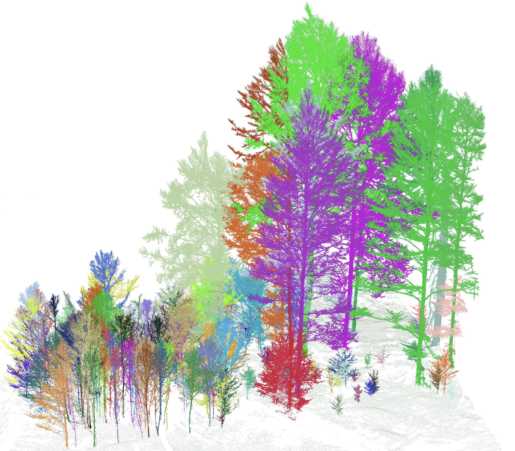
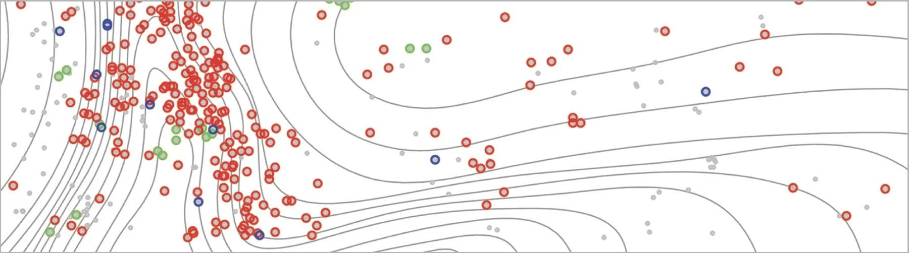
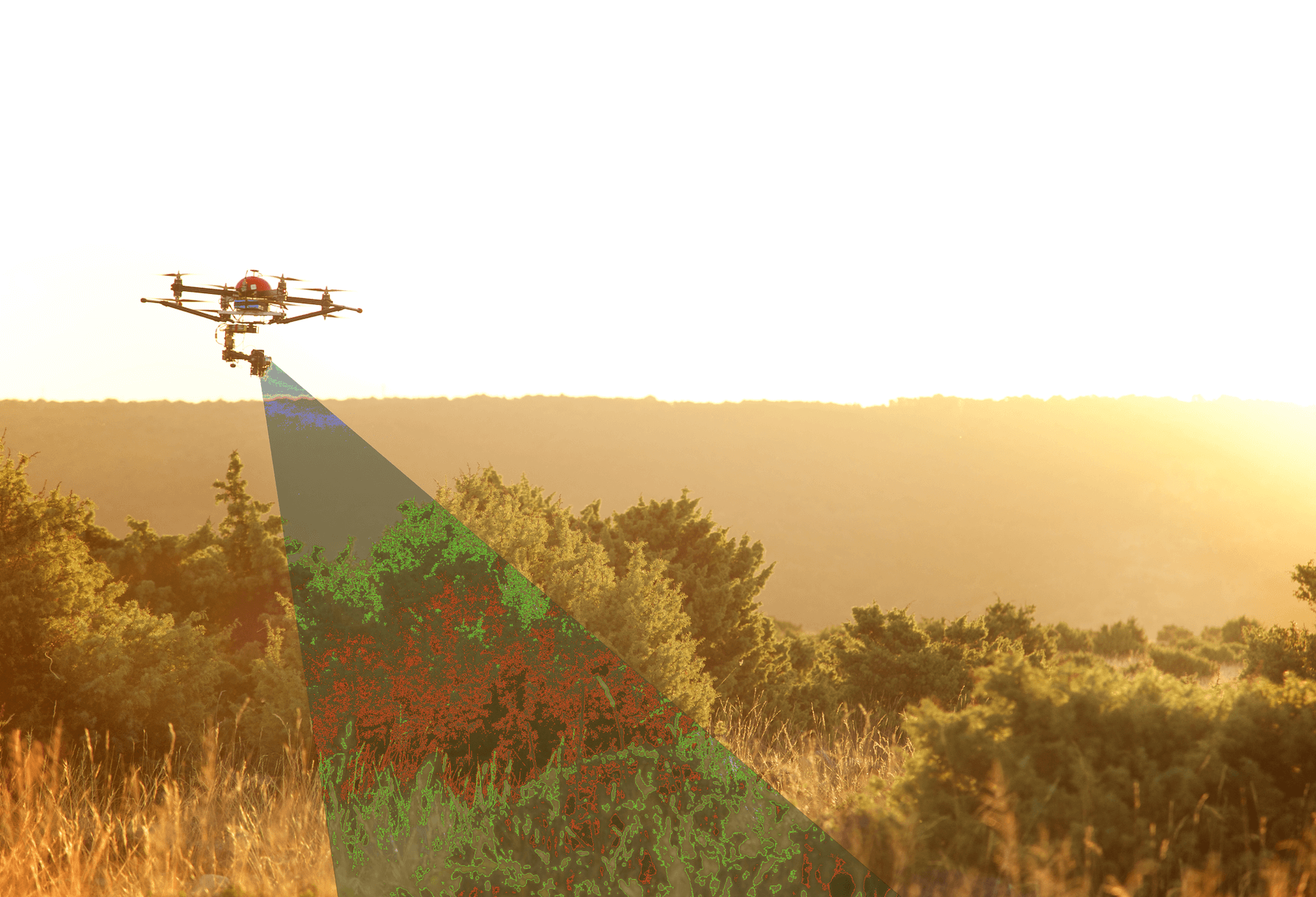
The traditional way to make these census maps is to directly measure the location, trunk diameter and species of every tree that’s chest high and over 1 centimeter wide. Sedio and his team are now developing a more automated approach to do it faster and cheaper. First, they use lidar (from ground instruments and drones) to create a 3D map of the trees. Second, they use AI software trained on direct measurements of a smaller sample area to extrapolate from the 3D lidar map to a 2D census map.